Before changing an application
Explore its connections to other applications, its data exchanges and its supporting infrastructure to prepare your impact analysis.
Cartographit is published by Nixial and co-funded by the European Union through the European Regional Development Fund (ERDF).
IT SYSTEM MAPPING SOFTWARE
Cartographit brings your IT components, data flows and relationships together in a shared repository. Use this knowledge to prepare changes and support your cybersecurity work.
Discover CartographitUNDERSTAND BEFORE YOU ACT
An application changes, a server is replaced, a new tool joins your environment: your knowledge of the IT landscape needs to keep up. When information is scattered across files and people, tracing a dependency can become difficult.
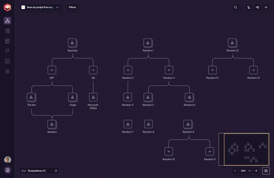
Cartographit centralises this information and represents its relationships, from business activities to infrastructure. Teams gain a shared repository for exploring components and their connections.
THREE PRACTICAL USE CASES
Explore its connections to other applications, its data exchanges and its supporting infrastructure to prepare your impact analysis.
Identify the affected components and business activities. Put technical findings into their business context to help prioritise action.
Bring together structured documentation of assets, flows and the scope under review. An up-to-date repository makes discussions between IT, security teams and auditors easier.
SOFTWARE PUBLISHED BY NIXIAL

Cartographit Studio uses the data already in your mapping repository to examine risks, their business consequences and the actions to prepare.
Analyses depend on the documented scope and the quality of the information available. Completing and updating the repository helps make them more relevant.
Explore the solutionA PROJECT SUPPORTED BY THE EUROPEAN UNION
Nixial receives European Union support for the Cartographit operation under the Occitanie ERDF-ESF+ 2021–2027 Programme.
This research and development project aims to enhance dynamic IT system mapping with automated carbon footprint calculations, automatic IT infrastructure discovery and AI-based recommendations. It contributes to digital sovereignty and companies’ environmental responsibility.
CONSULTING / DEVELOPMENT / CYBERSECURITY